How to Geotag Photos: The Four Steps That Work
To geotag photos, you write a latitude and a longitude into the image file's own EXIF metadata, so the coordinates travel inside the picture instead of in a caption, a folder name or a spreadsheet. How to geotag photos comes down to four steps: get the coordinates, open the photo in something that can write EXIF, write the location, and read it back to check it landed.
That last step is the one almost everyone skips, and it catches the two failures further down: a location that never reached the file at all, and a location that reached it pointing at the wrong side of the world.
How to geotag photos in four steps
- Find the latitude and longitude of the spot where the photo was taken.
- Open the photo in an editor that can write location data.
- Set the point on a map, then write it into the file.
- Read the file back and confirm the location is there.
Step one is a map lookup. Step two rules out most of what is already on your computer: a phone gallery and the Windows file details panel will both happily show you a location, but neither one writes a new one. Step three is where the location is created. Pick the point on a map and write the coordinates into the file, and you get back a copy of the photo carrying its location.
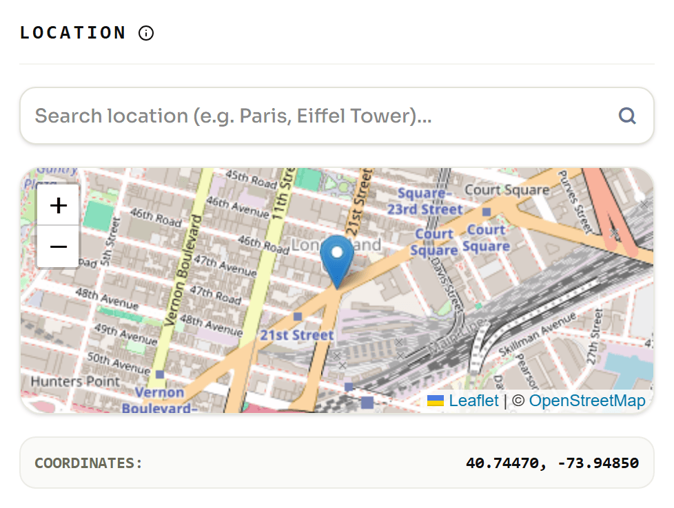
What actually gets written into the file
Here is the same photo from that screenshot, opened afterwards in a metadata viewer. This is what "geotagged" looks like from the inside:
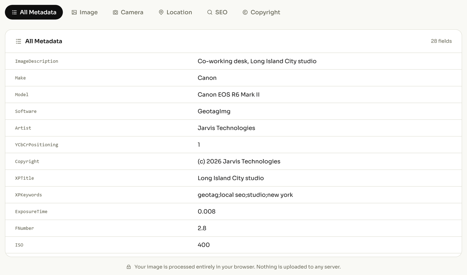
The bottom two rows are the coordinates as you would type them: 40.7 and -73.9. The rows above are how the photo actually stores them, and two differences matter.
The first is that the decimal gets broken up. 40.7 is filed as 40, 42, 0: 40 degrees, 42 minutes, 0 seconds. That is a format change and nothing is lost in it.
The second one is the one that bites. The minus sign is gone. The stored longitude is a positive 73, 54, 0, and the "west" half of -73.9 sits in a separate field of its own:
GPSLatitudeandGPSLongitudehold the distance from the equator and from Greenwich, always as positive numbers.GPSLatitudeRefandGPSLongitudeRefhold one letter each,NorS,EorW. These are the only things in the whole file that say which side of the equator and which side of Greenwich you were standing on.GPSAltitudeandGPSAltitudeRefwork the same way for height. The height is stored as a plain positive number, so that one flag is the only thing separating a rooftop from a basement.
Every location field a photo can carry is listed in the ExifTool GPS reference, and the field-by-field walkthrough is in what geotagging writes into a photo.
Why coordinates land in the wrong hemisphere
Write that same pair of coordinates into a photo, leave out those two one-letter fields, and read it back. You get this:
GPSLatitude  : 40 deg 42' 0.00"
GPSLongitude : 73 deg 54' 0.00"
GPSPosition  : 40 deg 42' 0.00", 73 deg 54' 0.00"
The numbers are right and the N and the W are simply missing. Nothing left in the photo records that the longitude was meant to be west. The file still reports a location and still looks geotagged, so the mistake survives every check except the one that puts the pin on a map.
This is what people are hitting when a correct coordinate produces a pin in the wrong country. It usually starts with a signed decimal pasted straight off a map into a tool that never splits it into a number and a direction.
At capture, or added afterwards
A phone with location services turned on writes the location as it saves the photo, and so does a camera with GPS built in or paired to a logger. Nothing else is needed; the coordinates are there from the first save.
Everything else is the second route: a camera with no GPS receiver, a shot taken with location switched off, a file that has already been through a service that strips metadata, or a scan of an old print. All of those arrive with the location empty, and it has to be written in afterwards. That is the case the four steps above describe.
What survives an upload
A location lives inside the file, so it only travels as far as the file travels intact. The IPTC, the standards body behind photo metadata, tested sixteen image-sharing and file-sharing services in a round of checks in Spring 2019. The pattern it found:
| Service | What the test found | What that means for your location |
|---|---|---|
| Instagram, Twitter | All metadata stripped | The location does not survive the upload |
| Pexels, Pixabay, Unsplash | Stripped from downloaded files | Anyone downloading your photo gets no location |
| Flickr | Camera data kept on download | The location generally comes back with the file |
| Google Photos | Camera data kept on download | The location generally comes back with the file |
| Dropbox, OneDrive | Original file preserved | You get back exactly what you put in |
That round is old and IPTC has not published a newer social-media one, so read it as the shape of the problem rather than today's exact scoreboard. The working rule survives either way: keep your geotagged original somewhere you control, and never assume a file that has been through somebody else's server still carries its location. The reasoning runs backwards too. When a photo is going somewhere public and the location is nobody's business, take the coordinates back out before it leaves.
Checking the coordinates are really in the file
This is step four and it takes about ten seconds. Open the finished photo in a metadata reader and look at the location fields.
If the latitude and its one-letter direction are both sitting there, the location is genuinely in the file and will travel with it. If that section is empty, nothing was written, whatever the editing app showed you on screen. You can read a photo's location fields back without installing anything.
Check the direction letters, not just the numbers. A latitude with no N or S beside it is the failure from earlier, and it looks entirely correct until something tries to map it. If you would rather work from a desktop than a browser, the Windows and Mac options are set out here, including which ones can write a location and which can only display one.