Landscaping SEO: Keep a Season of Photos Honest
Landscaping SEO is decided by three things Google names: how well your profile matches the search, how far you are from the person searching, and how well known you are. Your project photos are not on that list, and no amount of tagging will put them there. What those photos can do is hold a season together: which property, which month, which stage of growth. That is what lets a portfolio built over thirty sites and six months still tell the truth in November.
That is a filing problem before it is a marketing one, and the information you need to solve it is already sitting inside every photo you took.
What landscaping SEO can and cannot do for you
Google's own guidance on local results names relevance, distance and prominence (Google Business Profile help). Photos are mentioned on that page as a way to show customers what you offer. They are not described as a ranking input.
The trade-specific version of this question has an unusually good answer, because the one controlled test of it was run on businesses exactly like yours. An agency took 27 lawn care businesses through a 10-week study and published the results in March 2025. The design was five weeks of ordinary posting, then five weeks of identical posting with geotagged coordinates added to the images.
One of the seven metrics improved: "near me" searches inside the specific areas that had been tagged. Four of the rest declined. The author's own conclusion was that it "hurts everywhere you don't add geotagged images", and his agency stopped geotagging client images altogether.
Take that at face value. Geotagging your project photos is not going to move you up the map. It is going to make a season of work findable, sortable and defensible, which is a smaller promise and a real one.
The date on a before-and-after is part of the claim
A cleaning company's before-and-after is minutes apart. Yours is months apart, and that difference is the whole problem with how the trade presents its work.
A bed planted in April and photographed in July is a genuine result. Shown without a date, it quietly invites the reader to assume something faster than what happened. State the interval and the same pair becomes stronger, not weaker: "fifteen months after planting" is a claim about establishment and care, and it is the claim that wins the jobs worth having.
The interval is not something you have to remember. Every photo carries the moment its shutter fired, in a field called DateTimeOriginal. It is written by the phone at capture, unaffected by when you later copied, edited or posted the file. Two photos, two capture dates, and the gap between them is arithmetic rather than recollection. You can read the capture date straight out of both files in a browser to see what your own portfolio already knows.
This matters most for the pairs you are least sure about. A portfolio assembled at the end of a season from a phone with four thousand photos on it is exactly where an "after" gets matched to the wrong "before", not dishonestly, just wrongly. The capture dates settle it in seconds.
How a map coordinate becomes something a photo can hold
The location works the same way, with one wrinkle that catches people out. A map gives you a coordinate as two decimal numbers. A photo does not store it that way, and the difference is worth seeing once.
Take Central Park, which is published at 40.78222 north, 73.96528 west (Wikipedia). A photo stores that as degrees, minutes and seconds, the same units as a compass:
- The whole number is the degrees: 40.
- The remaining 0.78222 of a degree, multiplied by 60, gives 46.93 minutes, so 46 whole minutes.
- The leftover 0.93 of a minute, multiplied by 60, gives roughly 56 seconds.
That produces 40 degrees, 46 minutes, 56 seconds north, which is exactly the figure published alongside the decimal one in the source above. Run the same arithmetic on 73.96528 and you get 73 degrees, 57 minutes, 55 seconds.
Here is the wrinkle. The west longitude was a negative number on the map, and the photo does not store the minus sign. It stores 73 degrees 57 minutes 55 seconds as a plain positive value, and puts the direction in a separate field of its own: GPSLongitudeRef, which holds a single letter, W.
Lose that one letter and the photo claims a spot on the far side of the world, in Mongolia rather than Manhattan. It is the most common way a location ends up wrong, and the reason the reference fields exist at all.
Keeping one season of photos sortable across thirty sites
The reason landscaping portfolios decay is volume across places, not volume alone. Thirty properties, four visits each, one phone. By August nobody can tell the Oakwood Drive rebuild from the one two streets over.
- Turn location on for the camera at the start of the season and leave it on.
- Shoot every site from one repeatable position: the kerb, the gate, a corner of the patio.
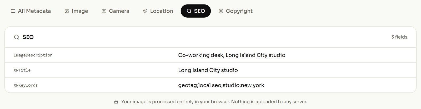
- At the end of each visit, set the site location on each photo and add the property name in the description field.
- File by address, not by date, so every visit to one property lands in one place.
- Keep the untouched originals separately and treat anything you upload as a throwaway copy.
Step three carries the most weight for photos shot before you started doing any of this. A batch that came off the phone with no location can still have one added afterwards, provided you genuinely know where it was taken. The step-by-step walkthrough for geotagging a photo covers that end to end.
What a project photo loses the moment you publish it
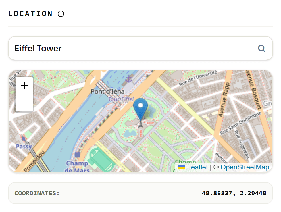
Most of it. The IPTC photo metadata working group has tested platform behaviour repeatedly, covering roughly a dozen services in its Spring 2019 round, and the pattern has been consistent: when a service resizes your image, the embedded detail goes with it.
Some platforms return an untouched original if you download it deliberately. Others re-encode on upload and discard everything. A few give you no way to retrieve the file at all.
So a gallery page is a display copy, not a record. The dates and locations you rely on live in the originals on your own drive, which is why step five of the routine is not optional busywork.
What an honest project gallery looks like
It states its intervals. A pair labelled "planted March, photographed the following June" outperforms an undated pair, because the reader can tell what they are being shown and stops looking for the catch.
It also declines to invent. Never write a location into a photo you did not take at that address, and never date a photo to a job it does not belong to. A fabricated value inside a file is worse than an empty one, because everybody downstream treats that block as a record rather than as marketing. Fill in what you know and leave the rest alone.
If you want to see how other trades lean on the same two values, where the photo was taken and when, how other trades use location data on their photos sets out the patterns side by side.
Related reading
Two more on the same problem, from a different trade.